Hello,
I would like to explore the whole DC2 dataset by using the data organisation according tracts and patches.
I mean I want to retrieve all the objects belonging to a tract and a patch from the dp01_dc2_catalogs.object table.
I am able to get from a query to the TAP service on dp01_dc2_catalogs.object table the list of tract numbers.
But then I would like to have access to the information associated to each tract and patch, ie its center, its corners (in radec). I have seen that the butler is aware of the skymap collection.
I am able to access from the butler to a skymap object
       repo = 's3://butler-us-central1-dp01'
       collection = '2.2i/runs/DP0.1'
       butler = dafButler.Butler(repo,collections=collection)
       skymap = butler.get('skyMap')

      <lsst.skymap.ringsSkyMap.RingsSkyMap object at 0x7f370d3d4f10>

     help(skymap)...
But it is not clear how to get the list of tracts and patches from skymap, because skymap methods ask for (ra,dec) argument.
I don’t want to provide the (ra,dec) argument because precisely I want to explore the tract-patch structure independently.
Is there an example of code doing this ?
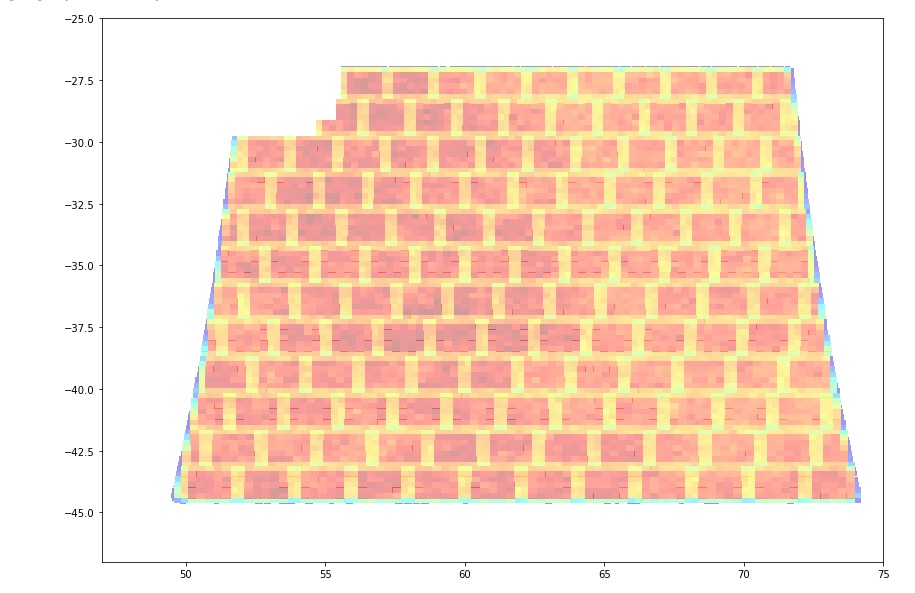
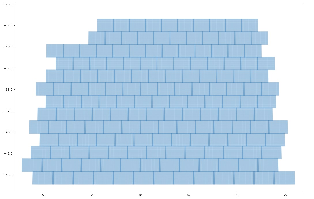
You can think as if I want to draw a plot of the tract-patch structure in a 2D figure (in ra,dec) coordinates.
After this I would like to retrieve all the object in dp01_dc2_catalogs.object table within given patch, probably by providing the radec corners of the patch.
Thanks for your help.
Sylvie