Hi –
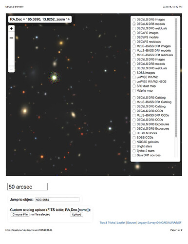
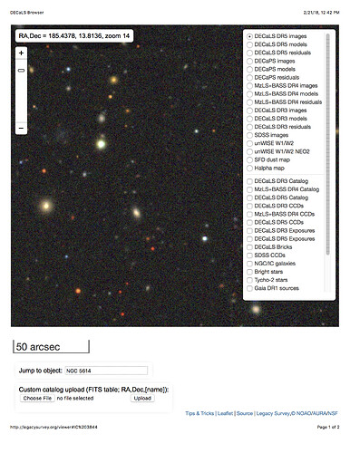
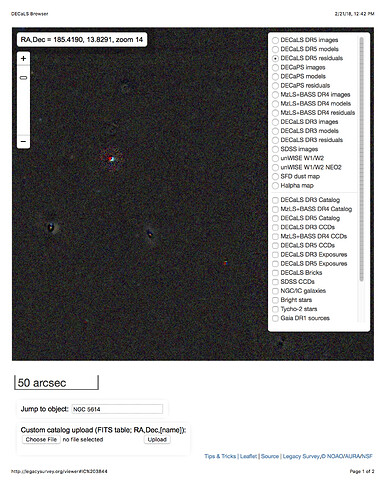
At discussions at the NOAO 2020 workshop, it occurred to me that I didn’t know if residual images would be available (or easy to produce) from LSST DM. For DECaLS, they have been very valuable for diagnosing issues with particular objects. I encourage you to check this out at the legacysurvey sky viewer, but here are some examples of what you can get: for a small patch of the sky, this shows the reduced image, the model of this image (corresponding to the objects in the catalog and their properties), and the residual image when the objects are subtracted off.
Would something like this be directly available in data releases (or made easy to generate on the fly)?


